


Farm Service Agency (FSA) employees from communities across Montana met in the state capitol this month to participate in the first annual Geographic Information System (GIS) Day in Helena. More than 20 FSA employees joined dozens of other GIS professionals from private, state and federal government to learn more about GIS technology and real-world mapping applications that are making a difference in our society.
Mapping is an important tool for American agriculture and a critical responsibility of FSA. FSA county office employees regularly use GIS in their day-to-day work serving America’s farmers and ranchers. In fact, FSA is the source of many of America’s maps, which can be found online in applications like Google Earth. FSA administers the National Agriculture Imagery Program (NAIP), which acquires aerial imagery during the agricultural growing seasons in the United States. The goal of the NAIP program is to make digital ortho-photography available to governmental agencies and the public within a year of acquisition.
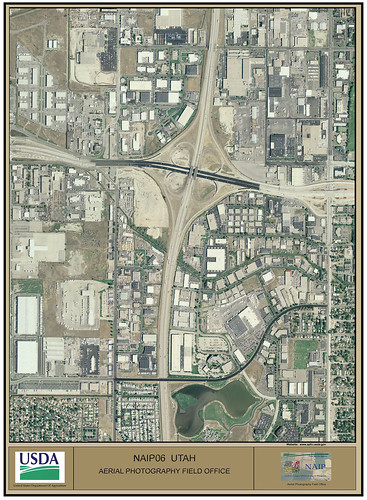
FSA administers the national program through the Aerial Photography Field Office (APFO) in Salt Lake City, Utah. The APFO has a vast amount of imagery of most of the United States and its territories, with dates from 1955 to the present. You can learn more about the history and services of the AFPO, formerly the aerial photography labs, here. Aerial photography has a great many potential uses. In addition to agricultural uses, aerial photography can provide a historical record for studying land use change, landform change, demographic change, and habitat assessment. It can be used for community planning, environmental enforcement, industrial projects, and transportation planning. In addition, the imagery is used as a base layer for GIS programs in FSA's Service Centers and to maintain the Common Land Unit (CLU) boundaries. CLU is the smallest unit of land that has a permanent, contiguous boundary, a common land cover and land management, a common owner and a common producer association.
The National Geographic Society has sponsored Geography Awareness Week since 1987 to promote geographic literacy in schools, communities and organizations. GIS Day is held on the Wednesday during Geography Awareness Week.