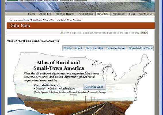
Today, the Economic Research Service (ERS) posted a new and innovative interactive mapping tool that makes it easy to visualize and compare rural economic and social conditions among counties, states, and regions. By creating county-level maps of the United States, users can see how socioeconomic conditions vary across the United States, or within a state.