
drought

Partnering to Deliver Drought Information through USDA Service Centers: A New Fact Sheet Outlines Drought-Related Recovery Programs

When dealing with drought, producers can feel overwhelmed and unsure of where to get help to recover from their losses, mitigate risk, and/or prepare for future events. To support the agricultural community in locating the information they need, USDA in partnership with the National Drought Mitigation Center (NDMC) at the University of Nebraska, developed a two-page factsheet (PDF, 1 MB) with information on the U.S. Drought Monitor (USDM) and drought related programs that rely on its use.

The U.S. Drought Monitor: A Resource for Farmers, Ranchers and Foresters

Even before the Dust Bowl days of the 1930s, agricultural producers have recognized the economic and emotional devastation that drought can cause. Recently, the focus has shifted from dealing with drought as an unexpected hazard, to more proactive planning for the inevitability of drought. One of the tools available to producers is the U.S. Drought Monitor (USDM), a weekly map of drought conditions produced jointly by the USDA, the National Oceanic and Atmospheric Administration, and the National Drought Mitigation Center (NDMC) at the University of Nebraska-Lincoln.

Drought Conditions at Lowest Point since Autumn 2010

Nationally, we are seeing extreme to exceptional (D3 to D4) drought conditions fall to their lowest point in more than 6 years. Nowhere is that change more dramatic than in California. The current (February 21, 2017) Drought Monitor for California notes the disappearance of D3/D4 from California. At the California drought’s peak from August-October 2014, that percentage was nearly 82 percent. As recently as early-December 2016, coverage of D3/D4 in California stood at 43 percent.

Collaboration on Drought Resilience is Delivering Results for America's Communities and Economy

Over the past year, we have seen alarming mass tree mortality in California, the development of severe drought conditions in New England and the Southeast, and dropping water tables in regions throughout the United States. The five-year Western drought and recent droughts in other states threaten our communities, our farms, our freshwater fisheries, our forests, and our grasslands that depend on and provide clean, accessible water supplies.

For many years, Federal departments and agencies have been working to produce long term solutions to conserve and protect a safe, reliable water supply. Now, under the framework of the National Drought Resilience Partnership (NDRP), a greater emphasis has been placed on improving federal agency collaboration to ensure more efficient use of program dollars and agency expertise.  The NDRP worked with a broad cross-section of stakeholder groups to shape six federal policy goals and an associated Federal Drought Resilience Action Plan.  As a result, more than 13 federal agencies and offices are cooperating in new ways under a shared strategy to deliver concrete results.

Ranchers Using NRCS Conservation Practices Boost Prairie Chicken Occupancy

Habitat conservation practices make a difference for lesser prairie-chickens. That's the finding of a recent scientific study – the first part of a multi-year study – described in a new report from the Lesser Prairie-Chicken Initiative (LPCI).

LPCI, led by USDA’s Natural Resources Conservation Service (NRCS), works with partner organizations and ranchers to improve habitat and address threats to the bird. Since 2010, more than 1 million acres of habitat have been restored on working lands.

Drought in the Northern Forests?

When I hear the word drought I imagine dusty rangelands and drying lakes. But it’s hard to imagine tumbleweeds blowing through the Northern Forests of the Midwest and Northeast regions. In fact, these forests have seen overall wetter conditions in recent decades and their annual precipitation is expected to continue increasing with the changing climate.

So why worry about droughts in these northern forests?

Navajo and Hopi Expand the Community Collaborative Rain, Hail and Snow Network

Susie Wauneka has discovered a unique way to serve her community; by watching the weather. Wauneka is a proud member of Navajo Nation and is a Navajo Community Health Representative, providing critical health care services for members of the Nation. In December 2015, she discovered yet another way to serve—by using a Community Collaborative Rain, Hail and Snow (CoCoRaHS) precipitation gauge to track the amount of rain and snow that falls.

The CoCoRaHS network is a unique grassroots network of thousands of trained volunteers of all ages and backgrounds working together to improve meteorological science by measuring and reporting precipitation amounts (rain, hail, and snow). CoCoRaHS is the largest provider of daily precipitation observations in the United States. The data from these observations are used by USDA and the National Oceanic and Atmospheric Administration (NOAA) for tools such as the United States Drought Monitor.

California Farmers Count Every Drop with Efficient Irrigation Technologies

All this month we will be taking a look at what a changing climate means to Agriculture. The ten regional USDA Climate Hubs were established to synthesize and translate climate science and research into easily understood products and tools that land managers can use to make climate-informed decisions. The Hubs work at the regional level with an extensive network of trusted USDA agency partners, technical service providers, University collaborators, and private sector advisers to ensure they have the information they need to respond to producers that are dealing with the effects of a variable climate. USDA's Climate Hubs are part of our broad commitment to developing the next generation of climate solutions, so that our agricultural leaders have the modern technologies and tools they need to adapt and succeed in the face of a changing climate.

Despite hopes for a drenching from El Niño, California farmers are facing another drought year in 2016.  Even after four years of the worst drought on record, California farm output was a record $54 billion in 2015, accounting for more than half of the nation’s fresh produce. Groundwater has helped compensate for California’s lack of rainfall, but groundwater overdraft cannot be continued indefinitely.

California farmers have responded to the drought by fallowing land; switching to crops that yield higher value per unit of water; and switching irrigation technologies.  Almost all California cropland is irrigated, so continued improvements in irrigation efficiency are key to weathering this and future droughts.

Email Alerts for Changing Climate Impacts on Drought, Pests, Livestock Heat Stress, El Niño, and More

All this month we will be taking a look at what a changing climate means to Agriculture. The ten regional USDA Climate Hubs were established to synthesize and translate climate science and research into easily understood products and tools that land managers can use to make climate-informed decisions. The Hubs work at the regional level with an extensive network of trusted USDA agency partners, technical service providers, University collaborators, and private sector advisers to ensure they have the information they need to respond to producers that are dealing with the effects of a variable climate. USDA's Climate Hubs are part of our broad commitment to developing the next generation of climate solutions, so that our agricultural leaders have the modern technologies and tools they need to adapt and succeed in the face of a changing climate.

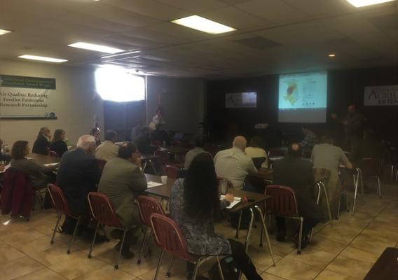
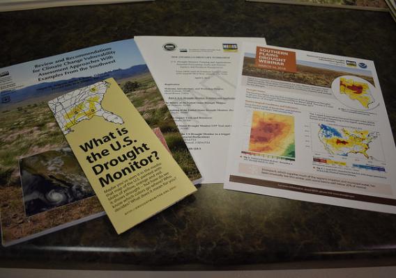
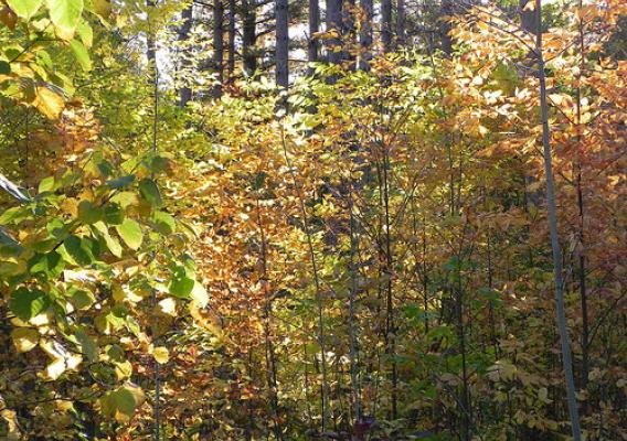
If you’re a farmer, rancher or working land manager in the southeastern United States, the USDA Southeast Regional Climate Hub (SERCH) can be a valuable resource in delivering timely and applicable climate information and tools.  Located in Raleigh, North Carolina, on the campus of North Carolina State University, SERCH is led by the Forest Service.  The mission is to increase the resilience of working lands – agriculture, forest, and grazing lands – to climate change and variability through adaptive management.  SERCH assesses the vulnerability of key southeastern resources to climate changes; connects with Land Grant Universities, extension professionals, and other technical assistance providers to understand the needs of southeastern land managers; develops new or amends existing tools to support the emerging climate needs of land managers; and delivers climate-smart information through established networks.