
gulf of mexico

USDA Observes the 10 Year Anniversary of the Deepwater Horizon Oil Spill

Today marks 10 years since the Deepwater Horizon oil spill. USDA, through its Natural Resources Conservation Service (NRCS) and U.S. Forest Service, worked alongside other federal agencies to respond to this disaster and supported the Gulf of Mexico region in its prevention, preparedness and restoration efforts.

Gulf of Mexico Communities Depend on a Healthy Gulf

The Gulf Coast ecosystem is vital to our nation and our economy, providing valuable energy resources, abundant seafood, extraordinary recreational activities and a rich cultural heritage.  This ecosystem was significantly injured by the Deepwater Horizon oil spill—the worst environmental disaster in U.S. history—and has also suffered from harm caused by hurricanes, subsidence and other human actions and naturally-occurring events.

With the historic settlement of the litigation with BP, there will be up to $16 billion available for ecosystem restoration in watersheds across Florida, Alabama, Mississippi, Louisiana and Texas through the RESTORE Act, the Natural Resource Damages Assessment process and the National Fish and Wildlife Foundation.

New Toolset Helps Identify Key Water Conservation Options

A free computer-based toolset developed by USDA-Agricultural Research Service (ARS) scientists was launched this month.  The toolset can help conservation planners, landowners and researchers better manage watershed runoff, such as nitrogen and phosphorus, while also supporting agricultural production.

Excess nutrients from watershed runoff—from sources that include farming—affect the ecological quality of aquatic environments. A watershed is an area of land from which all of the water that runs off its surface flows to the same location, typically a stream or river, but lakes and ponds also have watersheds. There are thousands of watersheds of varying sizes that cover the continental United States.

From Commerce to Conservation, Coastal Areas Reap Rewards

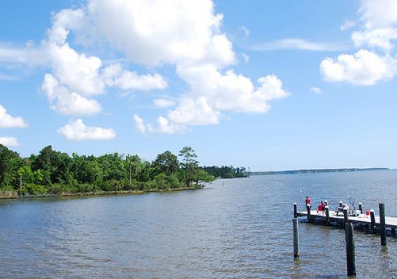
Looks can be deceiving. Take the Houston Ship Channel located just east of the city of Houston. To the casual observer with a windshield view, they might briefly note the shipping vessels, grain elevators and day-to-day commerce as they speed by.

However, it’s on the Houston Ship Channel’s waters where, for some, the real action is taking place. This is where commerce meets conservation.

According to the Port of Houston Authority, an estimated 200 million tons of commodities and products annually pass through the 52-mile ship channel aboard more than 8,000 shipping vessels. To keep the channel deep enough for these large ships to navigate through, the channel has to be dredged on a continuous cycle.

The Mississippi River: Mending the Mighty from North to the Gulf

The mighty Mississippi – it’s a river with a history of romance and enchantment. Native Americans depended on the Mississippi River for food and water, and world explorers came in search of its riches.

Over time, farmsteads dotted the land, and small towns grew to large cities. Today, we see the fruits of our labor as industry, commerce and agriculture continue to thrive in the basin. But those successes come with environmental challenges. Many of the basin’s waterways suffer from poor water quality.

Keeping an Eye on the Nation's Chemical Climate to Protect Water Resources

Getting from Point A to Point B is sometimes a difficult task; that’s why we have maps.  However, making maps is not always easy, either, especially when the image you’re trying to capture is carried on the wind.

For nearly 40 years a coalition of government, education, industry, and other organizations has worked to monitor “precipitation chemistry” – in other words, tracking the makeup and whereabouts of acid rain.  Their latest efforts have resulted in maps that indicate how nitrogen deposition in the United States threatens aquatic life in the Gulf of Mexico.