
sequoia national forest

New Web-Based Tool Helps Land Managers Plan for Forests' Future

This post is part of the Science Tuesday feature series on the USDA blog. Check back each week as we showcase stories and news from the USDA’s rich science and research portfolio.

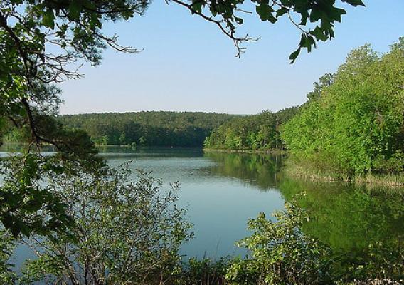
From South Carolina’s coastal plain to the North Carolina mountains to the tropics of Puerto Rico to the southern Sierra Nevada region of California, climate change is on the minds of forest planners.

That’s because U.S. Forest Service planning teams in these areas are among the first to revise their land and resource management plans under the 2012 Planning Rule. To help them in their planning, land managers from the Francis Marion, Nantahala, Pisgah, El Yunque, Inyo, Sequoia, and Sierra national forests will turn to a web-based tool known as the Template for Assessing Climate Change Impacts and Management Options.

Forest Plans help guide the management of national forests and are typically revised every 10 to 15 years. The plans help ensure that national forests and grasslands continue to meet the requirements of the National Forest Management Act—for clean air and water, timber and other forest products, wildlife habitat, recreation and more.

Former Cop is a Smooth Negotiator

During his 21 years as a California Highway Patrol officer, Bob Goodwin eased tensions during traffic accidents, issued verbal warnings and made arrests—all in a calm and cool way.

Now, as Tribal relations advisor for the U.S. Forest Service’s Pacific Southwest Region, Goodwin is again relying on those valuable people and negotiating skills to build relations between Tribal entities and the federal government. Goodwin’s easy-going demeanor, “can do” attitude, and ability to resolve challenging issues make him perfect for the job.

California Man Snaps Winning Photo in Sequoia National Forest

Glen Maki of Wofford Heights, Calif., had a camera, a 210 mm lens and just enough time to press the trigger as the digital motor whirred quickly to capture a kayaker maneuver the waters at the Seven Teacups on the Sequoia National Forest.

“I was just taking a lot of pictures,” Maki said. “So when I decided to enter the contest, I had to enter the one I thought was the best. And it turned out pretty well.”

It's for the Birds! Annual Flyway Festival Enthusiasts Learn More about Migrating Birds and Role of California's National Forests

An estimated 4,000 people in the San Francisco Bay Area recently celebrated the return of millions of migrating birds as part of the 16th annual Flyway Festival held on Mare Island in Vallejo, Calif. California national forests act as a vital habitat link in the Pacific Flyway, a major north-south route of travel for birds migrating every year from Alaska to Patagonia.

The birds travel some or all of this distance both in the spring and in the fall, following food sources heading to breeding grounds overwintering sites. Many of the bird’s native habitats such as oak woodlands, riparian areas and mixed conifer forests are found in the golden state’s national forests.