This post is part of the Science Tuesday feature series on the USDA blog. Check back each week as we showcase stories and news from USDA’s rich science and research portfolio.
When we think about space missions, we tend to look toward the stars to planets like Mars where robotic rovers roam, gathering data and sending it back to Earth. Rarely do we think about missions closer to home. But a view of Earth from 426 miles above is helping us monitor droughts, predict floods, improve weather forecasts and assist with crop productivity.
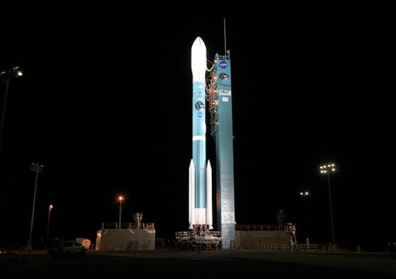
This year, the National Aeronautics and Space Administration (NASA) launched a new satellite called SMAP (Soil Moisture Active-Passive) with the help of a team that included U.S. Department of Agriculture (USDA) hydrologist Susan Moran at the Agricultural Research Service’s (ARS) Southwest Watershed Research Laboratory in Tucson, Arizona, and physical scientist Wade Crow and hydrologist Thomas Jackson at ARS’s Hydrology and Remote Sensing Laboratory in Beltsville, Maryland.