Windbreaks and other agroforestry practices provide a wide range of agricultural production and conservation benefits, helping farmers and furthering the goals of U.S. Department of Agriculture Secretary Perdue’s Agriculture Innovation Agenda (PDF, 196 KB). Windbreaks are designed to increase crop yields, reduce erosion, and improve soil health while also providing other conservation benefits like wildlife habitat.
However, an inventory of agroforestry practices, including windbreaks, has long been a missing piece of information. “You can’t manage what you don’t measure” is a common saying in the USDA Forest Service as we strive to use data and metrics to better inform our decisions, a key component of the Agriculture Innovation Agenda (PDF, 196 KB). Recently, the Forest Service Forest Inventory and Analysis Program and USDA National Agroforestry Center, along with several state and university partners, have worked together to advance the agroforestry inventory in the central Plains states agricultural region.

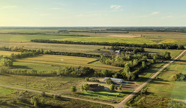
Using aerial imagery and computer learning algorithms, Forest Service researchers have developed methods to locate and map the trees that form windbreaks. The first phase of this Trees Outside Forest Image-based Inventory project, or TOFii, is to map all the tree cover in North Dakota, South Dakota, Nebraska, Kansas, and the panhandle of Texas. The high-resolution tree cover of Kansas GIS dataset is complete for each of the state’s 105 counties. High-resolution tree cover datasets for the other states can be found on the Forest Service Northern Research Station website.
The Kansas Forest Service is using this data to understand and assist producers manage their soil and crop protection windbreaks. The Kansas Forester Service used further GIS and remote sensing techniques to identify windbreak locations and group them into three condition classes: good, fair, and poor.
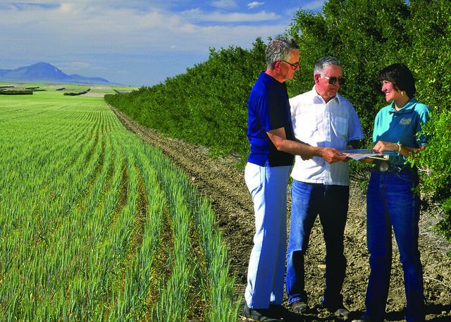
“Thanks to the USDA Forest Service Forest Inventory and Analysis and State & Private Forestry, Kansas Forest Service has geospatially identified windbreaks in need of renovation. Through targeted outreach we have engaged farmers through County Conservation Districts to sustain this valuable resource” said Bob Atchison, Rural Forestry Coordinator for the Kansas Forest Service.
In addition, through this outreach, 44 landowners received assistance. Ninety-two percent of the windbreaks qualified for the USDA Natural Resource Conservation Service Environmental Quality Incentives Program (EQIP), which provides technical and financial assistance for conservation practices.
Other Plains States including North Dakota, South Dakota, and Nebraska have initiated work to map these trees outside of forests. More information about this effort is included in a GIS storymap titled Making Trees Outside Forests Count. By working together, the Forest Service can help farmers achieve their production and conservation goals.