
soil survey

NRCS Shares Soil Science through International Engagement

As the world leader in soil classification and soil survey, USDA’s Natural Resources Conservation Service (NRCS), was invited to give a keynote presentation at the XXVII Congress of Soil Science of Argentina held virtually the week of October 12, 2020. Soil Survey Regional Director Luis Hernandez with the NRCS Soil and Plant Science Division represented USDA-NRCS and provided a comprehensive overview of the USA National Cooperative Soil Survey (NCSS) Program.

New Data Unveil Underground Detroit

Soils experts from USDA’s Natural Resources Conservation Service (NRCS) recently completed a five-year project to map underground Detroit.

“Now planners, developers and others in Detroit can use our soils data to understand their soil’s ability to support green infrastructure, development and urban agriculture,” said Luis A. Hernandez with NRCS’ soil science division. “Knowing what’s under the city helps decision-makers prioritize their planning based on soil features and other specific needs to soundly achieve their land use goals.”

All of Georgia's Soils Surveyed and Available Online-Contiguous States Mostly Complete

Soil scientists from across the southeastern region of the U.S. came together recently to celebrate the completion of Georgia’s soil survey. With this mapping complete, very few areas of the nation’s soils in the 48 contiguous states are not recorded.

USDA’s Natural Resources Conservation Service (NRCS) mapped soils information for Georgia’s 159 counties. The map data can be accessed online through NRCS’ Web Soil Survey.

Soil surveys involve studying the nature and properties of soils, mapping their location on the landscape and interpreting their unique sets of characteristics. The information found in these soil surveys was used by producers to better understand their soils, and how best to use and protect them.

U.S. College Students Earn Title of "Earth's Best" in International Soils Judging Contest

While many tuned in to watch the World Cup to see which team would become the globe’s soccer champs, others watched a competition of a different kind: one that named the earth’s best identifiers of slices of earth.

College students from the United States competed with teams from nine other countries to see who could best interpret soil. America took first and second in the inaugural International Soil Judging Contest. And American contest Tyler Witkowski also won second place overall of 45 contestants.

“Soil and land judging at the high school and college level is a baseline entry for young people to study the land and learn to read the landscape so that they can better manage and protect it,” said Maxine Levin, with the National Soil Survey Center of USDA’s Natural Resources Conservation Service.  NRCS is the United States’ premier private lands conservation agency, originally founded to conserve and map the nation’s soils. Levin helped prepare the contest and served as a judge.

Los Angeles Soil Survey Unearths Cradle of the City

It has been 88 years since the hammers and crowbars went silent. Sweat ran for more than a month as teams of workers smashed and destroyed Los Angeles’s original buildings between First, Temple, Spring and Main streets.

Construction began in the 1850s, and these buildings quickly became known as the cradle for an infant city. The footprint is now buried deep below present day Los Angeles City Hall and its adjacent park. It was not until March 2014 that local historians were reminded of this past for the second largest city in the United States.

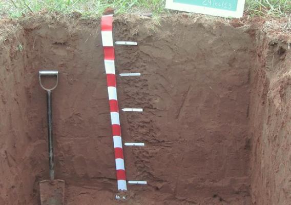
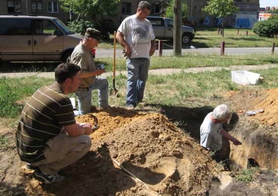
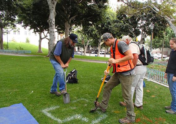
It started last fall when a soil survey team from the USDA’s Natural Resources Conservation Service (NRCS) began to dig a soil pit in City Hall Park adjacent to city hall, as part of the agency’s soil survey.