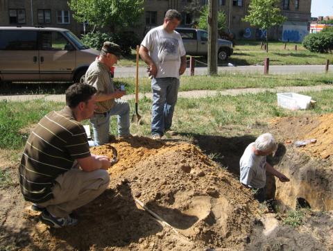
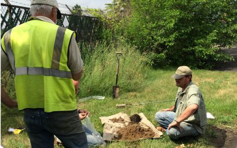
Soils experts from USDA’s Natural Resources Conservation Service (NRCS) recently completed a five-year project to map underground Detroit.
“Now planners, developers and others in Detroit can use our soils data to understand their soil’s ability to support green infrastructure, development and urban agriculture,” said Luis A. Hernandez with NRCS’ soil science division. “Knowing what’s under the city helps decision-makers prioritize their planning based on soil features and other specific needs to soundly achieve their land use goals.”
In Detroit, New Data, New Soils…
Soil surveys through the NRCS’ National Cooperative Soil Survey are largely focused on rural areas, but Detroit officials asked NRCS to survey what lies beneath the city of 680,000. The Wayne County Conservation District also reached out to NRCS because of its concerns about Detroit’s underground infrastructure, particularly to damaged water and sewer systems.
NRCS worked with the city and 23 surrounding municipalities to survey soils in the metropolitan area. NRCS mapped and characterized more than 173,000 acres. The data will help the city make decisions about when to replace aging pipes, where and when to build and selecting ideal sites for urban gardens.
Three new soil types, Livonia, Midtown and Riverfront, were established for Detroit through this survey. Livonia is a poorly drained sandy loam, covered with a surface mantle of human transported material. Midtown is a fine loam of buried soil that, like Livonia, is poorly drained. Riverfront is a well-drained soil consisting of sandy loam and covered by a thick mantle of human transported material.
For more information about the Detroit data, please view the Detroit soil data.
Soil Surveys Support Cities
While soil in urban areas are good for many land uses and share many of the same properties as rural soils, there are differences like disturbed urban soil can be severely compacted, possess alkaline chemical properties and can hold substantial amounts of debris from construction.
Soil is the foundation of 94.1 million acres of developed land across the United States. That’s why it’s important that urban soils uses, limitations, and behaviors are understood for sound land use planning.
This project builds on several urban mapping efforts, including Washington, D.C., New York City, Baltimore, Los Angeles and Chicago.
NRCS has set a goal of completing the mapping of urban and rural soils on all lands within the U.S., and making that data available on its Web Soil Survey (WSS), the largest natural resources information system in the world.


