


Have you ever wondered about the soil you are standing on, at any given spot in the United States? Curious about what soil type it is? How about if the soil is easy to dig? If the soil is ideal for supporting the weight of a house or a barn? Or simply, if it will help you grow better tomatoes?
Thanks to an innovative mobile app, the world’s largest soil survey data base is available on the go. The USDA’s Natural Resources Conservation Service and the University of California at Davis recently announced that the SoilWeb app, version 2.0, is available as a free download from Google Play (Android) and the Apple app store (iOS). The app was created through a partnership between NRCS and UC Davis.
With its embedded GPS system, SoilWeb provides convenient, instantaneous soil information from the exact soil the user is standing on. The app gives users greater accessibility to NRCS’ soil survey information that has been collected across the United States since the late 1890s. The app presents the data in mobile form, helping users make better-informed decisions about the location they are researching.
The information can inform insurers about flooding frequency and builders about if the location could be suitable for roads, basements, or septic tanks. The agricultural real estate industry, farmland owners, and farmers interested in renting or purchasing land commonly need information about soil productivity and land capability. Knowledge of soil is also important to home gardeners and landscapers. Although soil survey information can be used for general farm, local, and wider area planning, a professional onsite evaluation is needed to supplement this information in some cases.
Location accuracy settings allow users to select between standard accuracy (less accurate and uses less battery power) and high accuracy (more accurate but may use more battery power). The location auto-refresh feature allows users to access soil maps and data real-time even as they travel about their property.
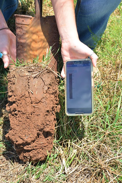
Users can simply click “Get Soil Data” on the app’s home screen and get detailed soil survey data for that spot. Furthermore, they can get information on soil taxonomy, soil series descriptions, soil property depth profiles, land classification ratings, hydraulic and erosion ratings, forest productivity, and soil suitability ratings.
The “Details” tab in the soil series description offers robust site information indicating if the site is a good location for a pond as determined by slope and water-holding capacity. This feature can also determine if site is suitable for cropland, including the type of crops it is best suited for and even the types of plants one could expect to find at that location – from trees to forbs to grasses. This is especially helpful for long range management plans for the property.
Soil suitability ratings provide customer reports based on a user’s interest. Categories include agriculture, forestry, engineering, irrigation, urban/recreation, soil contamination awareness, and wildlife. This portion of the app displays what the soil could be best suited for and provides information on how to manage the land for best productivity.
The app was developed by NRCS Soil Scientist Dylan Beaudette, in 2010 when Beaudette was a Ph.D. student at UC Davis, along with Anthony O'Geen, UC Davis professor and Cooperative Extension specialist. Through an agreement between NRCS and UC Davis, contractor Mike Walkinshaw was able to devote the last 12 months to bringing the app up to current standards with new features. The app accesses NRCS’ Web Soil Survey information, with is an accumulation of valuable soil information the agency has been collecting since the 1890s.
When producers look out across their fields and pastures, they have a good idea of what is growing above the ground. But it is soil underneath that really drives their management systems. The better farmers and ranchers understand the soils beneath their land, the more they can improve the production capability on their land.
The SoilWeb app offers this and more from the convenience and ease of a mobile device. Download it today. It’s free and we know it will become an important tool in your farming toolbox.

