Scaling a mountain or hiking across a meadow is a peaceful, exhilarating exploration – unless you don’t know which fork in the trail to take.
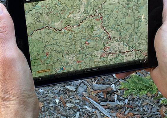
It used to mean taking out a folded map, holding onto it tightly so the wind won’t blow it away or trying to shelter it from raindrops. Now dealing with a map may be faster, easier and more convenient by opening your smart device and using a U.S. Forest Service digital map you downloaded for free or for a nominal fee.
“In many areas of our national forests or grasslands, internet connections are just not available,” said Joan Steber, a cartographer who worked on the digital map project. “The free app and static maps will help because the user downloads the maps to their Apple or Android device before heading to a national forest or grassland.”